Photo taken on Dec 4, 2015 shows the Bayi Glacier in Qilian county, Northwest China's Qinghai province. [Photo/Xinhua]
Chinese scientists have established a sophisticated monitoring system to observe and forecast natural disasters, such as avalanches of ice and flooding from glacial lakes on the Qinghai-Tibetan Plateau, whose meltwater feeds 10 great rivers in Asia and affects 1.9 billion people, scientists said on Wednesday.
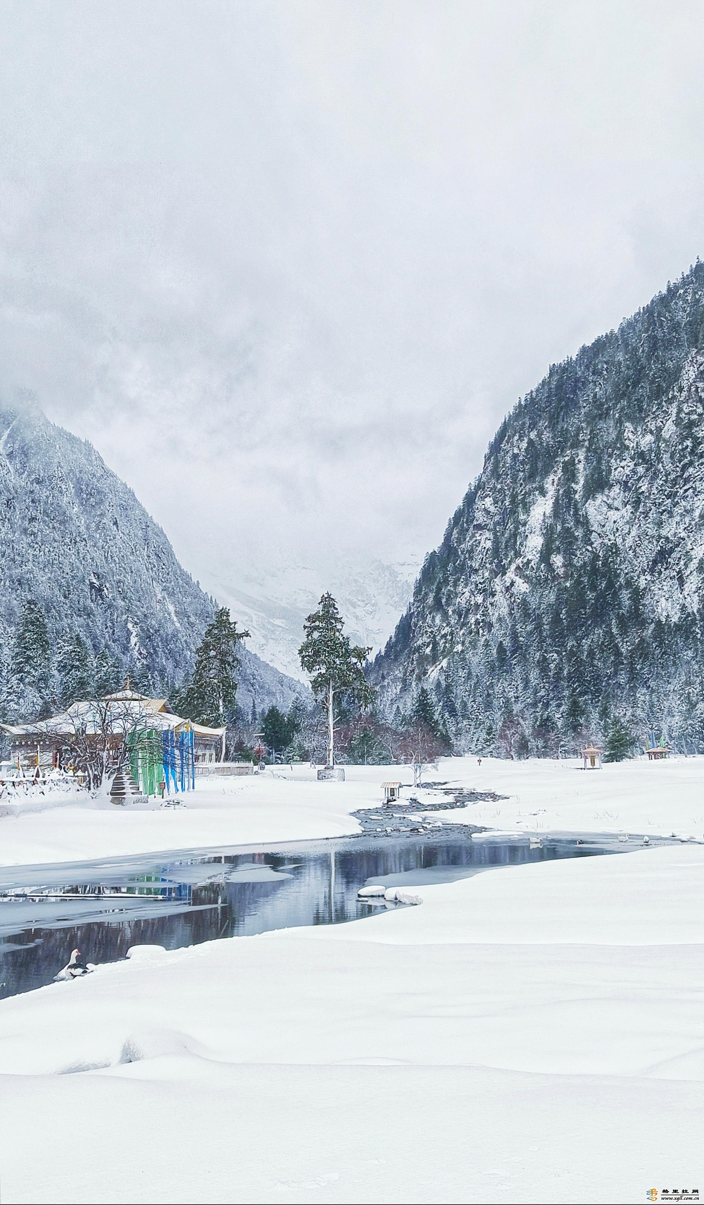
The plateau is a glacier-based freshwater system, also known as a "mountain water tower", that supply water to communities downstream by storing or transporting vast quantities of water from their high-altitude glaciers, snow packs, lakes and streams.
According to a global study published in the journal Nature on Dec 9, of the 78 global water towers studied, the Indus water tower-which is made up of vast areas of the Himalayan mountain range and covers portions of Afghanistan, China, India and Pakistan-is the most important and one of the most threatened by climate change.
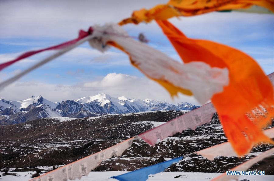
The Qinghai-Tibetan Plateau is experiencing ever-stronger glacial retreats, leading to melting and ice avalanches that could potentially block rivers and reduce water flow downstream, said Yao Tandong, a glaciologist from the Institute of Tibetan Plateau Research of the Chinese Academy of Sciences.
"Ice avalanches used to be a rare occurrence, but now they will likely become common," Yao said. "If temperatures increase 2 C globally, the Asian water towers could see a temperature hike as high as 4 C," he said, adding that the extra meltwater can expand lakes and may increase flooding in some regions.
As a result, the 32 authors involved in the research, including Yao, concluded that it is essential to develop international, mountain-specific conservation policies and strategies to adapt to climate change and safeguard the ecosystems and people downstream.
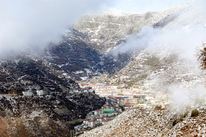
The effects of climate change on the Qinghai-Tibetan Plateau have been slow but profound. In the last five decades, the plateau's glacier coverage has fallen from 53,000 square kilometers to 45,000 sq km, according to the research.
The plateau's frozen soil area also decreased from 1.5 million sq km to 1.26 sq km, and its number of lakes greater than 1 sq km has increased from 1,081 to 1,236, with total coverage jumping from 40,000 sq km to 50,000 sq km.
"These factors make the region one of the most ecologically fragile and environmentally risky areas," Yao said, adding the changing environment also made the area more disaster prone.
In June and September 2016, there were two instances of ice avalanches at the Aru Glaciers of Ngari prefecture on the plateau that killed a total of nine people. In October last year, an ice avalanche and glacial debris blocked the Yarlung Tsangpo River in the Tibet autonomous region and formed a large barrier lake, leading to the evacuation of more than 6,000 people.
In 1981 and 2016, the glacial lake on Tibet's Nyalam county near the border of Nepal burst and flooded infrastructure downstream, greatly impacting the landlocked country.
"Disaster forecast and mitigation is a global challenge that has global implications," Yao said.
To better observe the environmental conditions and forecast possible natural disasters, Chinese scientists have established a comprehensive surveillance system with drones, satellites and ground detectors in parts of the plateau to monitor ice avalanches and ensure the debris does not block the rivers.
On Oct 29, the detectors recorded their first ice avalanche from a mountain along the Yarlung Tsangpo River, proving that the system is online and fully functional.
"If the ice avalanche is small, then it is no cause for concern, but if it blocks a river or threatens the locals, then we can immediately notify the local government and emergency response team," Yao said.
With the system's help, locals will have at least half an hour more for evacuation, which can be lifesaving, he said.
|


7740f3b5-9ecb-438e-9052-76cb2d4bb671.jpg)